



 Google Maps
 Waze
WazeChoose the actual Manila entry before pricing the route
Manila is a broad starting point. A trip from Quezon City can enter the northern corridor differently from a trip beginning in Makati, Pasay, or southern Metro Manila. An optional Skyway Stage 3 approach can add a distinct toll leg.
Set the actual origin and hotel or parking entrance as your destination. Use the route calculator above for the stored plaza-to-plaza itinerary, then check the local segments it does not precisely locate. A city-center label is not the same as a door-to-door route.
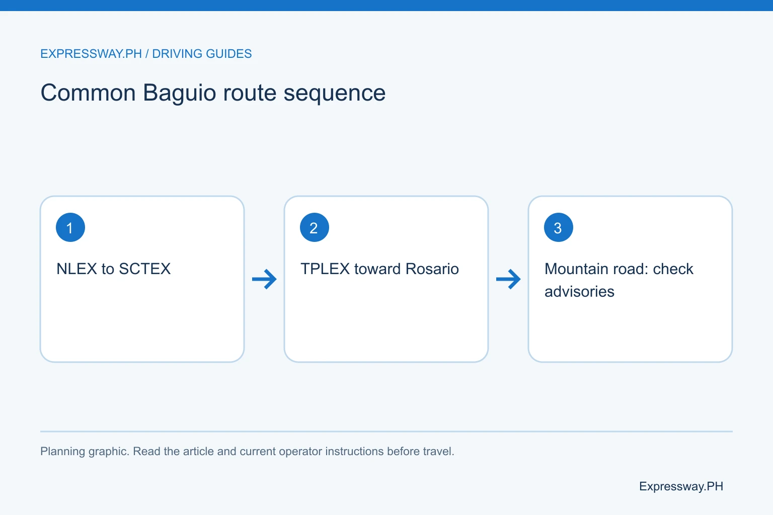
The common northbound motorway sequence is NLEX, SCTEX, and TPLEX. Check the signed SCTEX branch toward Tarlac rather than the Subic direction. Plan that junction before the drive so a late route decision does not create an abrupt lane change.
Continue through TPLEX toward Rosario
TPLEX carries the motorway journey through Tarlac and Pangasinan toward the Rosario area of La Union. The onward Baguio approach begins after the tollway exit. The road does not become a mountain expressway that delivers you directly to the city center.
Check the route's actual exit and local continuation. A planned stop in Pangasinan or a different mountain approach can change where it makes sense to leave. Do not assume every Baguio itinerary has exactly the same toll because it shares the three expressway names.
Use the TPLEX exits guide for the named points on that road. Keep the mountain decision separate from the motorway sequence. If a current closure changes the approach, recalculate the local distance, fuel, arrival time, and return plan before leaving.
Choose Kennon Road or Marcos Highway from current conditions
Kennon Road and Marcos Highway, also called the Aspiras-Palispis Highway, provide different mountain approaches to Baguio. Kennon is commonly the shorter approach, while a Marcos Highway route can involve a longer local continuation. Current access and conditions should decide the usable route.
Check the latest DPWH-CAR, local-government, and weather advisories before the journey. A closure, slope incident, repair, or vehicle restriction can make a familiar route unsuitable. This article does not announce that either road is open at all times or safe in every weather condition.
Do not follow navigation onto a closed approach because it offers a shorter arrival estimate. Use the authorized diversion and allow extra time. For a first mountain drive, plan daylight where possible and avoid a schedule that forces a tired driver to complete the climb after a long overnight start.
Calculate tolls by entry, exit, and vehicle class
Use the toll result above or the toll calculator for your actual motorway entry and exit. Add any Manila elevated-road approach and deliberate exit-and-re-entry detour. The mountain road choice can change the local portion without necessarily changing every expressway leg.
Check Class 1, Class 2, or Class 3 as applicable to the vehicle. Do not estimate a larger vehicle's tariff by applying an invented universal multiplier to a car fare. Use the stored rate result and the current operator schedule.
Include the return journey. A single outward toll amount is not a complete trip budget. Keep food, fuel, parking, and hotel costs separate. If the return begins through a different local approach or ends at a different Manila destination, calculate that itinerary rather than simply doubling the outward toll.
Use a worked fuel estimate rather than an old pump price
Fuel cost depends on door-to-door distance, consumption, and the price you actually pay. The estimate above states its assumptions. Mountain driving, luggage, traffic, and additional sightseeing can differ from a flat motorway consumption figure.
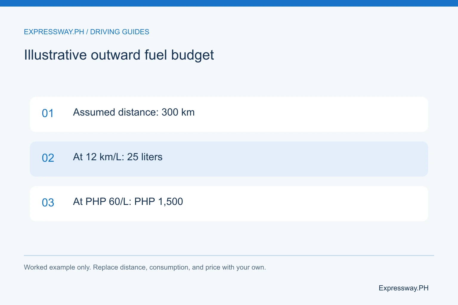
For a worked example, assume 300 km one way, 12 km per liter, and ₱60 per liter. That gives 25 liters and ₱1,500 for the example outward drive. These are budgeting assumptions, not a measured distance or current fuel quote for your journey.
Replace them with your car's realistic consumption and current pump price. Add return distance and any local driving in Baguio. For an EV, plan compatible charging through the operator's current app rather than treating every fuel station as a charging point. Leave a practical reserve before the climb.
| Budget item | How to estimate | Include the return? |
|---|---|---|
| Tolls | Actual entry, exit, and class in calculator | Yes; check itinerary |
| Fuel | Distance ÷ km per liter × pump price | Yes; add local driving |
| Food and parking | Current menu, venue, or terminal charge | Budget separately |
Plan departure and breaks without sacrificing sleep
An early departure can reduce exposure to some city traffic, but there is no universally fastest departure hour. Holiday queues, weather, roadworks, and the final Baguio approach can affect the journey differently from an ordinary weekday.
Build an arrival plan that includes meals, restrooms, and driver rest. A navigation estimate usually needs additional time for those stops and parking. Do not choose a very early start if it leaves the driver sleep-deprived for the motorway and mountain sections.
Use the NLEX stopover guide for a same-direction break and check later SCTEX or TPLEX facilities if needed. A properly planned stop is preferable to an urgent shoulder stop. Review the mountain-road advisory again while parked before committing to the final approach.
Confirm ordinary RFID coverage or unified enrollment
Ordinary NLEX and SCTEX use Easytrip, while ordinary TPLEX uses Autosweep. The whole route is not an all-Easytrip itinerary under the standard provider arrangement. An optional Stage 3 approach also belongs to ordinary Autosweep coverage.
A confirmed account in the current One RFID program can provide the selected unified balance across participating roads. Older one-sticker interoperability can still require two balances. Confirm your own account arrangement before deciding where to reload.
Check the balance after payment, not only the wallet receipt. For a missing GCash RFID reload, follow its published one-hour check-and-report procedure. Use the RFID comparison and keep enough posted credit for the return or a revised exit. Do account tasks while parked.
Check Baguio coding, parking, and the hotel entrance
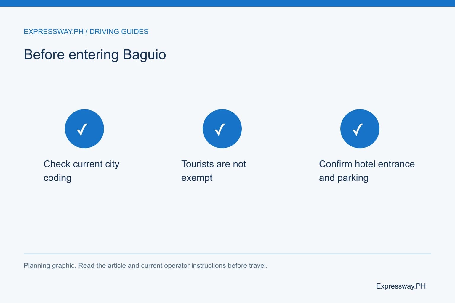
Baguio VISITA's current local-advisory page says number coding operates from 7 AM to 7 PM. It lists weekday plate-ending pairs and explicitly says tourists are not exempt. It also says coding remains active during holidays. Check the current notice for your travel date and the coding-zone map.
Do not assume arriving as a visitor removes the local rule. Confirm whether your hotel approach enters the coding zone and ask the hotel about a legal arrival and parking plan. The perimeter-road arrangement needs a location-specific check.
Reserve or confirm parking where possible. A hotel name on a booking does not establish a free vehicle space. Ask about the entrance, clearance, availability, and charge. Plan walking or local transport for city sightseeing so a limited parking supply does not require repeated driving around the center.
Prepare the car, alternative route, and return descent
Check tires, brakes, lights, coolant, and other roadworthy condition items before a long mountain trip. Carry the licence, OR and CR (Official Receipt and Certificate of Registration), account records, water, and suitable weather clothing. Secure luggage before the climb.
An all-local-road alternative through the MacArthur Highway corridor can reduce motorway use, but adds town traffic and more junction decisions. Compare it as a complete route rather than treating saved tolls as the only cost. Do not use it as an improvised shortcut without checking the road.
Plan the descent with a rested driver and current advisories. Use a suitable gear and driving technique for the vehicle rather than continuously riding the brakes. Check the return fuel, balances, and Manila approach before leaving Baguio. A successful outward drive does not settle the next day's conditions.
Frequently asked questions
Does the Manila-to-Baguio route use only Easytrip?
No. Under ordinary coverage, NLEX and SCTEX use Easytrip, while TPLEX uses Autosweep. A confirmed unified One RFID account can change that payment arrangement. Check enrollment and available credit before traveling. An older one-sticker setup may still have two balances even when only one tag is visible.
Is Kennon Road always the best route to Baguio?
Choose from current access, weather, and road advisories. Kennon and Marcos Highway are different mountain approaches, and closures or restrictions can change the usable route. A shorter navigation line is not proof that the road is open. Follow official notices and plan extra time for an authorized diversion.
How do I estimate fuel cost for the Baguio drive?
Divide the actual trip distance by your realistic kilometers per liter, then multiply by the current pump price. Include return and local driving. For example, 300 km at 12 km per liter uses 25 liters; at an assumed ₱60 per liter that is ₱1,500. Replace those illustrative assumptions with your own.
Are tourists exempt from Baguio number coding?
Baguio VISITA's current advisory says tourists are not exempt and lists coding from 7 AM to 7 PM. It also says coding is active during holidays. Check the current weekday plate-ending rule, coding-zone map, and travel-date notice. Ask your hotel for a legal approach and confirmed parking arrangement.
Sources and useful links
- Toll Regulatory Board: toll-rate implementation notices
- Easytrip: current account, installation, and One RFID FAQs
- SMC Tollways: December 2025 corporate disclosure on One RFID and Skyway
- DPWH: official road advisories and regional information
- Baguio VISITA: current local advisories, coding hours and tourist coverage
Related guides
- NLEX Stopovers: Food, Coffee, Fuel and Stops in Each Direction
- SLEX Stopovers: Restaurants, Fuel and Rest Areas by Direction
- Autosweep vs Easytrip: Coverage, Accounts and One RFID
- One RFID Enrollment: How to Use One Account Across Tollways
- Philippine Expressway Speed Limits: NLEX, SLEX, Skyway and TPLEX