
Locate NLEX Connector in the wider road network
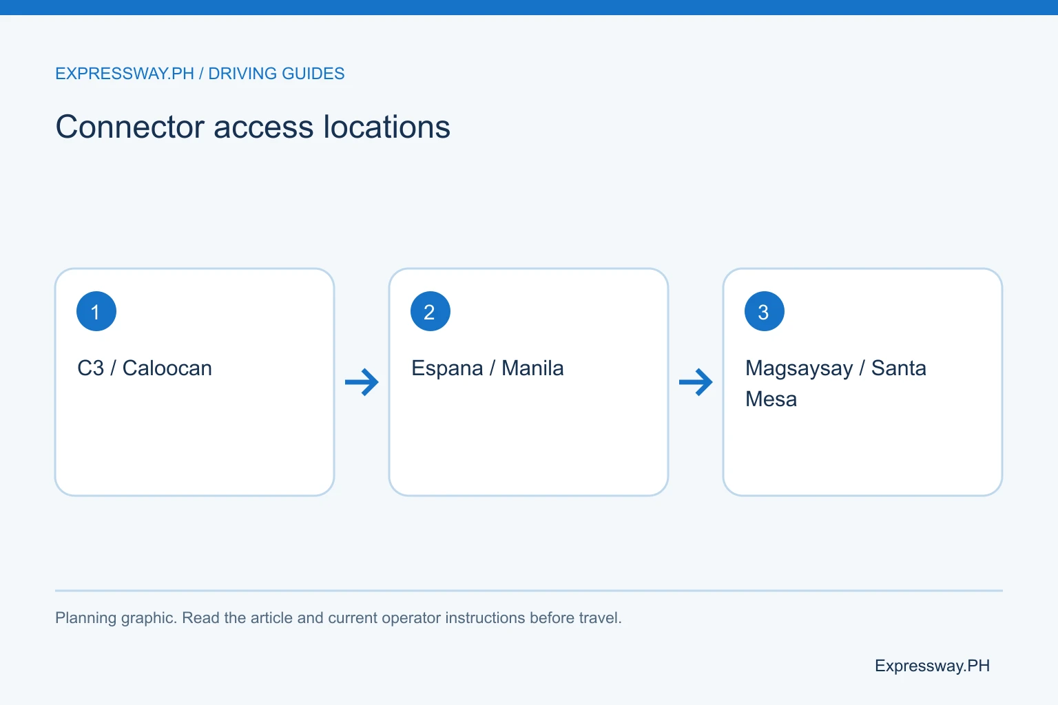
NLEX Connector runs above the urban corridor between the Caloocan approach and Manila access areas. The operator and government project records identify C3, España, and Magsaysay as its three interchange locations. Harbor Link and the NLEX main line are related parts of an onward northbound itinerary.
A route from a Manila address near España differs from a route starting on the southern Skyway system. The nearest elevated road on a map may not have a ramp you can legally reach in the direction you need.
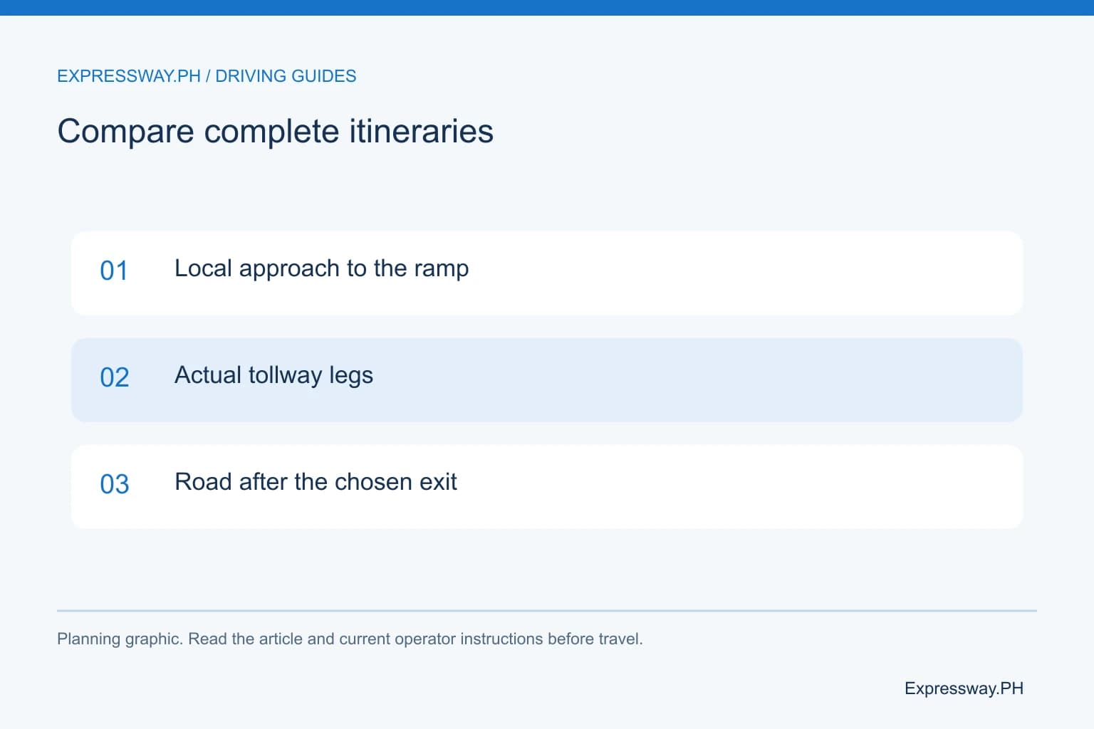
Set the street entrance and final destination first. Then compare the local approach to the connector with the approach to Stage 3 or an at-grade alternative. The useful comparison includes access time, tolls, and the road after the exit. A headline journey-time saving cannot replace that route-specific check.
| Access area | Route role | Before choosing |
|---|---|---|
| C3 / Caloocan | Northern connector approach | Street-level ramp and onward NLEX |
| España | Manila access | Direction and destination gate |
| Magsaysay | Santa Mesa-side access | Current onward route; verify interconnection |
Check the C3 and Caloocan approach
C3 Road or the Caloocan interchange area provides the northern connector access. Check the actual ramp route and direction, especially if navigation brings you through the Harbor Link corridor. A pin placed on the elevated structure is not a complete street-level approach.
For a northbound journey, follow the signed connection toward the onward NLEX route. For a city destination, identify the correct exit and local street after it. The main line and the connector should not be treated as one undifferentiated toll section.
Larger vehicles should check the local approach as well as the expressway class. A road advertised for all vehicle classes does not remove restrictions from every surrounding city street. Confirm the delivery gate, road clearance, and applicable local access rules before choosing the approach.
Use España for the appropriate Manila destination
España is a connector access point serving the surrounding Manila area. A university, hospital, or office nearby may have a gate on a side street rather than directly on the boulevard. Ask for the vehicle entrance before selecting the ramp.
Check whether you need an on-ramp or off-ramp and which travel direction applies. A recognizable location name is not proof of every movement. Operator notices and current signs provide the practical access check.
Compare the local section from España with another legal approach. A short route on paper can still encounter a queue after the exit. Allow time for that street traffic, particularly around busy institutions and events. The connector can shorten a tollway-to-Manila journey without delivering you to the correct gate automatically.
Use Magsaysay for the Santa Mesa-side approach
The Magsaysay access area extends the connector's usefulness toward Santa Mesa and nearby Manila destinations. The operator opening information describes the España-to-Magsaysay section as available for public use. The planned project connection farther toward Skyway is a separate status question.
A traveler starting near Magsaysay Boulevard should compare the actual ramp approach with the alternatives. The local road can require a different legal turn from the route you use on the return. Save both directions rather than simply reversing the outward instructions.
For a pickup or delivery, set a safe agreed location outside the live ramp. Don't stop on the connector or its shoulder to collect passengers. Choose a destination where the vehicle can legally park, then plan the expressway movement and local approach to that point.
Compare the connector with Skyway Stage 3
Stage 3 links the Buendia area with NLEX Balintawak through its own urban corridor. NLEX Connector serves C3, España, and Magsaysay with a different ramp network. They have separate operators and ordinary RFID coverage.
A driver already on Skyway from the south may have a straightforward Stage 3 through itinerary. A driver starting near a connector ramp in Manila may prefer NLEX Connector for the northbound approach. Compare the whole journey before making a choice.
Don't assume one road is always cheaper or faster. The entry, exit, vehicle class, street access, and traffic determine that comparison. Use the Stage 3 guide and toll calculator beside the connector route. Check the return too, since urban ramp approaches can change the practical choice.
Distinguish open access from the planned interconnection
Government and operator project descriptions mention an intended connection between NLEX Connector and Skyway Stage 3. A description of the completed project's purpose is not proof that every interconnection movement is open today.
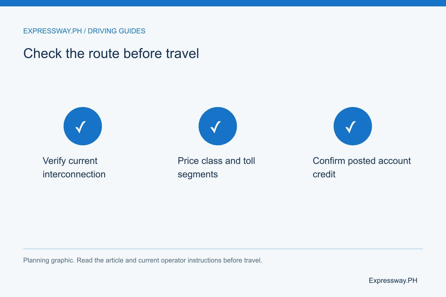
Check the latest operator routing for the journey you intend to make. If the route still needs a local-road transfer, budget and plan that transfer instead of drawing an uninterrupted elevated line in your itinerary. This article does not label an unverified bridge movement as an available shortcut.
The supporting network graphic is a schematic comparison of road roles. It does not establish current ramp geometry or construction status. Before travel, read the notices for NLEX Connector and Stage 3 separately. Treat a newly announced opening as a specific movement to verify, not a blanket update to every possible route.
Calculate the connector toll and fund the appropriate account
Ordinary NLEX Connector uses Easytrip. Skyway Stage 3 ordinarily uses Autosweep. A confirmed unified One RFID account can change the provider-balance arrangement, but the toll tariffs remain route and class specific.
Use the connector toll matrix and toll calculator to inspect the relevant journey. Add the NLEX main-line or any other onward road as a separate leg when applicable. Historical opening-day fares should not be treated as the current quote.
Check the available balance before departure and after payment. If you have separate accounts, fund the networks actually on your itinerary. If you have confirmed unified enrollment, reload the selected provider account. Keep the payment reference until credit appears. A funded wallet and a readable tag are separate parts of preparation.
Plan the drive, missed movement, and return entry
Read the posted speed and lane instructions for each connector section. Urban elevated roads can have tighter curves and shorter approach distances than an open rural main line. Do not use a NLEX main-line maximum as an automatic connector limit.
Choose the ramp lane early. If you miss an exit, continue to a legal movement and recalculate after parking or with a passenger's help. Don't reverse, stop beside the painted separation area, or cross the separation area to recover a missed turn.
Plan a proper rest stop on the onward road if the journey is long. The connector is a through road, not a service area. Save the return street-level ramp approach before setting off. Check operator notices for work zones and temporary access changes shortly before the journey.
Frequently asked questions
Where are the NLEX Connector access points?
The operator and government project information identify C3 in Caloocan, España, and Magsaysay Boulevard in Manila. Check the actual ramp movement and direction for your route. A location pin on an elevated structure does not provide the legal street-level approach or establish every entry and exit movement.
Is NLEX Connector the same as Skyway Stage 3?
No. They are different roads with separate operators, ramps, and ordinary provider networks. NLEX Connector serves the C3-España-Magsaysay corridor, while Stage 3 connects Buendia with NLEX Balintawak. Compare the complete itinerary, including local approaches, toll segments, and the return direction, before choosing between them.
Can I assume the planned Skyway interconnection is open?
No. Verify the latest operator routing for the specific movement before travel. A project description can state the intended completed connection without establishing current public access. If the route needs a local-road transfer, plan and budget that segment. The schematic illustration is not evidence that an unfinished movement is available.
Which RFID does NLEX Connector use?
Ordinary NLEX Connector uses Easytrip. Stage 3 ordinarily uses Autosweep. A selected unified provider account can cover participating roads after confirmed One RFID enrollment. Check your actual account arrangement and available credit before relying on one wallet for a journey that crosses the standard provider networks.
Sources and useful links
Related guides
- NLEX Exits and Map: Northbound, Southbound and Where Each Leads
- SLEX Exits and Map: Southbound, Northbound and Destination Guide
- Skyway Stage 3 Entry and Exits: Ramps, Directions and NLEX Connection
- Philippine Expressway Speed Limits: NLEX, SLEX, Skyway and TPLEX
- Motorcycles on Philippine Expressways: CC Rules, RFID and Documents